+1 720 441 2660
info@airviewsource.com
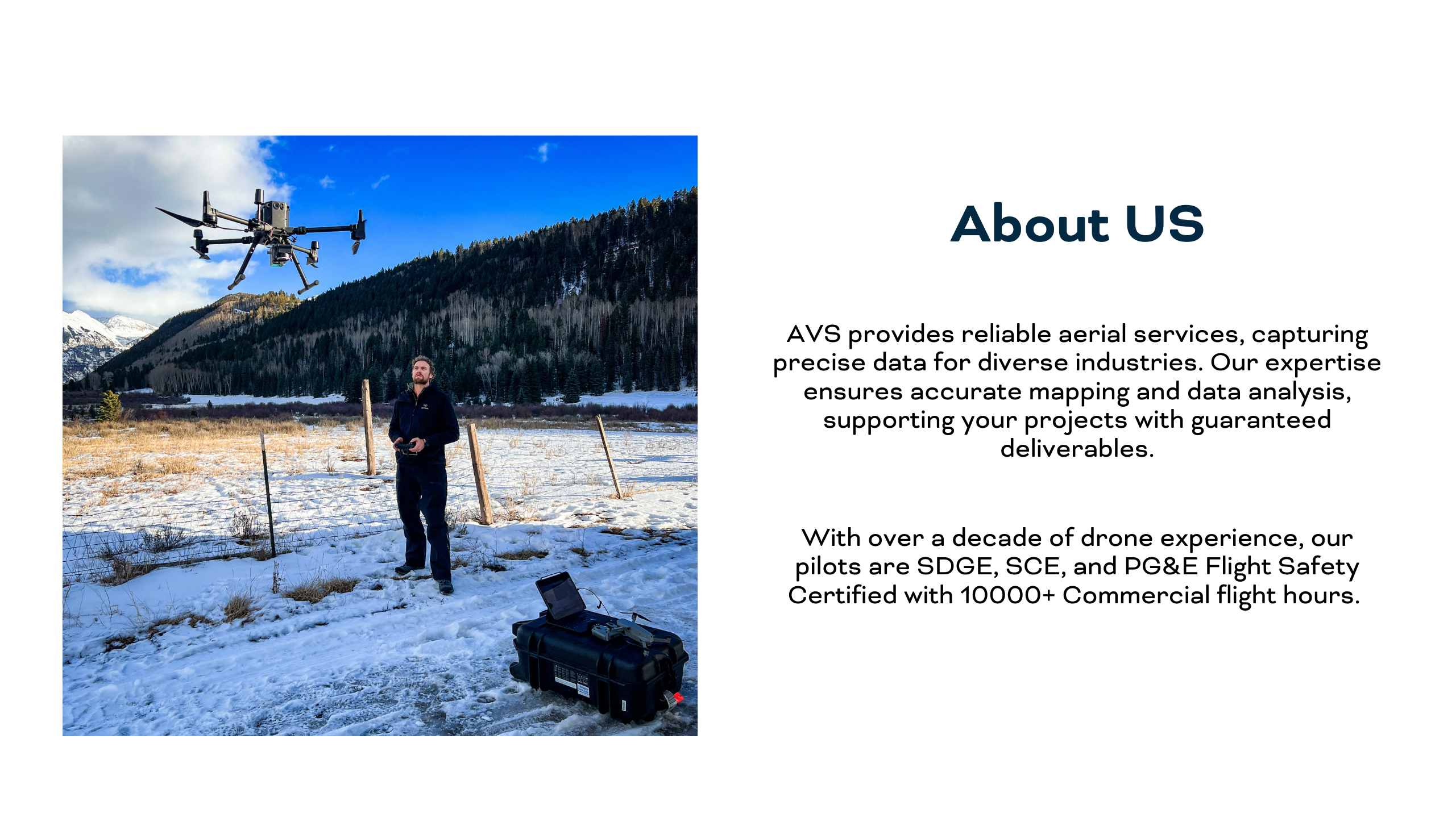
About AVS
Submit a Project
About AVS
Submit a Project
Get Your Free Quote Today
Or request a web video demo and learn more.
Call for free consultation